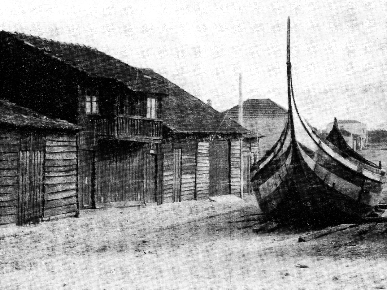
Mapping the 'Maritime Backyards'
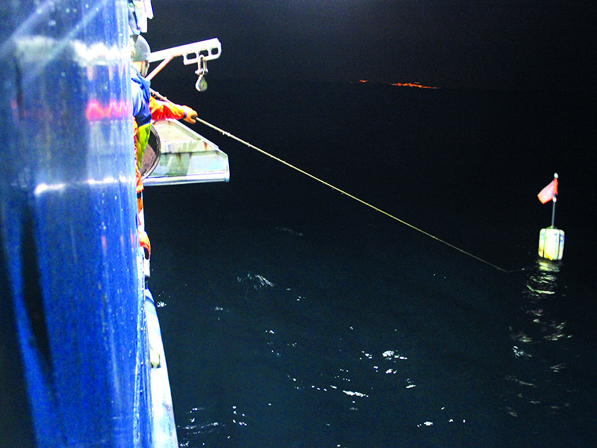
On 30 September, José Pedro Fernandes, an architecture student at the University of Minho, took part in the 2019 MIT Portugal Annual Conference “The Atlantic as a platform for scientific and technological impact” at the University of the Azores, presenting a poster linked to his master’s degree thesis, supervised by Marta Labastida (EAUM), and to the research project “Sea and coast, architecture and marine biology: the impact of marine life on the built environment”. Fernandes’ work seeks to map the “maritime backyards” and understand their morphology and dynamics.
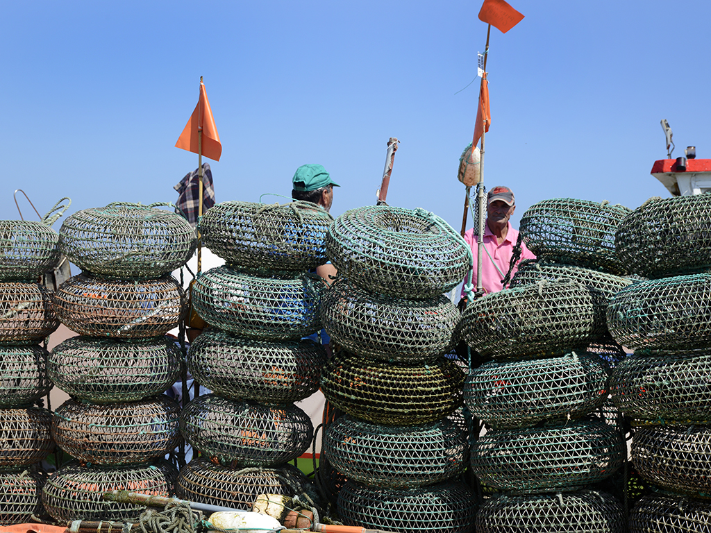
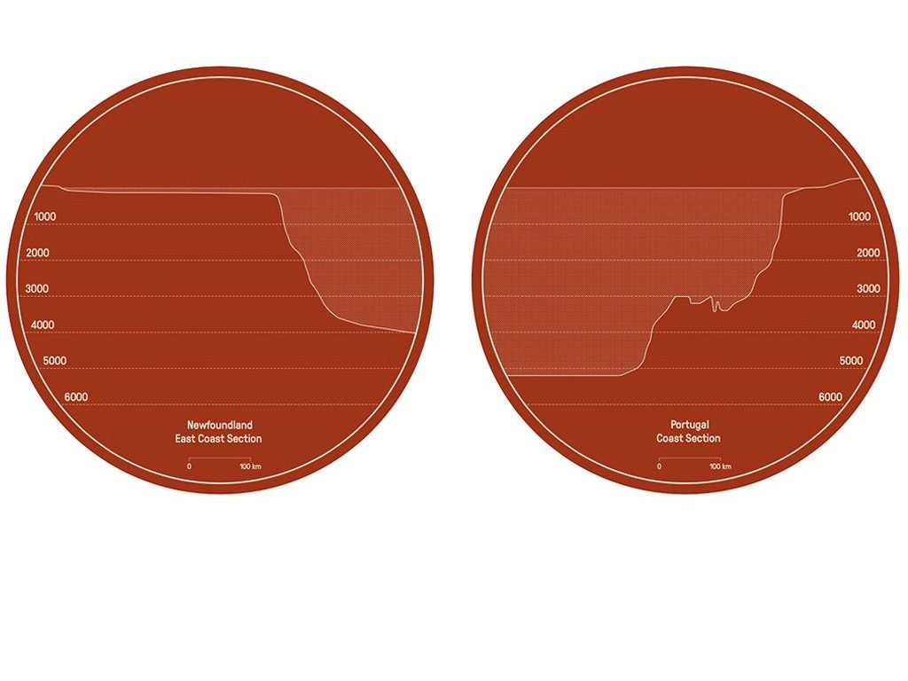
In Northern Portugal, “maritime backyards” are specific places at the bottom of the continental shelf that designate informal ownership and fishing rights among the community of established fishermen. In the history of Portuguese maritime planning and its territorialisation, there are no cartographical records of these “maritime backyards”. Their location, identification or size are not shown on official maps. They were configured to secure fishing rights, improve productivity and avoid conflicts between fishing techniques, such as ground traps, trawling and seining. “Maritime backyards” have become important spaces for the sustainability of natural resources due to the high concentration of biomass and ecosystem diversity on the seabed.
In Fernandes’ work, information is gathered from biology, economy, ethnography and oceanography and reproduced through the use of architectural representation tools that make it possible to measure and draw these underwater spaces. In turn, this provides the means with which to decode their relationship to the coastal areas, including an assessment of the toponymy and empirical knowledge transmitted among fishermen. The information is gathered through interviews, photos, written and graphical documentation obtained from present-day fishing activity. This empirical approach will be complemented by earlier references to the “maritime backyards” and fishing traditions. The result is a cartography that illustrates the location, dimensions and morphological characteristics of the “maritime backyards”, by relating their space to the toponymy used by fishermen. Through interpretive drawings and schemes, the cartography also cross-reference the spatial information with the different fishing techniques.
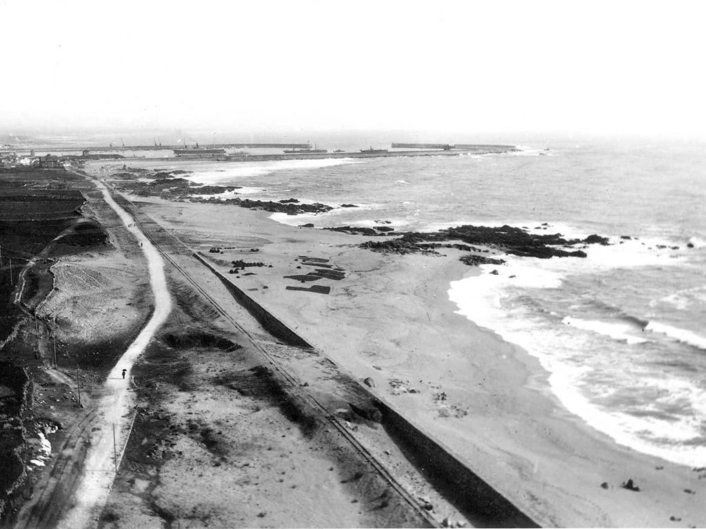
The focus of this study is Póvoa de Varzim, a coastal city with a traditional fishing activity, where there is a large concentration of “maritime backyards”, which makes it a unique case study for the subject. Over the last 50 years, fishing has changed its procedures because of the introduction of new electronic technologies such as GPS. However, the “maritime backyards” were created through experience and were shared secretly among fishermen, from generation to generation, ensuring their maintenance and turning them into one of the region’s main economic resources. With the emergence of this technology, the cultural significance of the toponymy of the “seas” is being lost. Mapping “maritime backyards” is fundamental in revealing a cultural heritage based on a close relationship between sea and shore, serving as a potential tool for the nation’s maritime spatial planning.
Click Here to access the full program of 2019 MIT Portugal Conference.
